Areas with difficult geology to profile
WARRAGUL/DROIUN
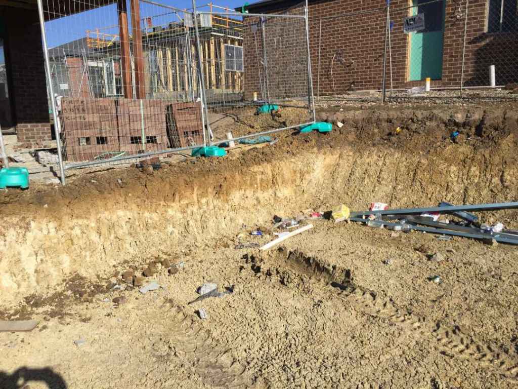
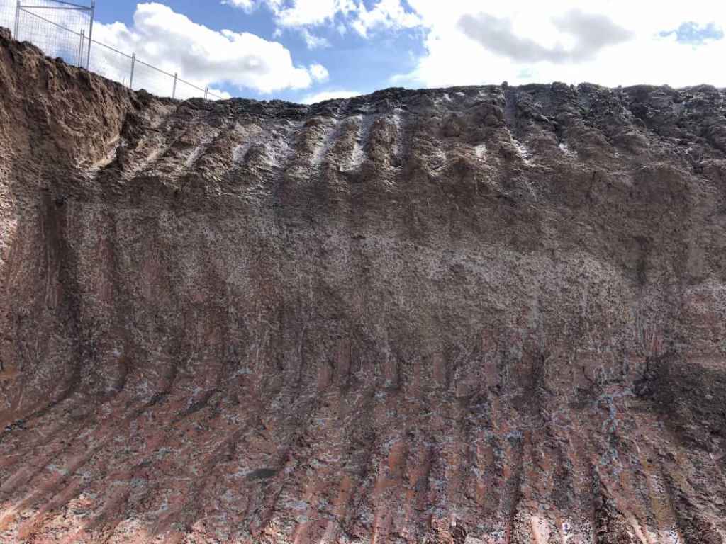
The tertiary basalt hills of Warragul and Drouin can be difficult areas for field technicians to separate fill from natural soil. The hilltops are sometimes heavily cut at the subdivision stage and the cut material is pushed into the adjoining gullies without being transported any significant distance. This makes the fill very clean and containing similar structure to the underlying natural clays. The natural, deep weathering mottle colours and structure of the tertiary basalt in this area make it particularly difficult to identify differences between nature and fill profiles. In addition, the individual blocks are cut and filled, adding another hurdle in getting to the correct site classification.
We have several methods to differentiate between fill and natural soils including off-site technology, geological knowledge and on-site experience in this area. Drillology currently assists several soil testing companies in identifying the natural and fill material in the Warragul area. This area should not be attempted by an inexperienced technician with limited geological knowledge and training.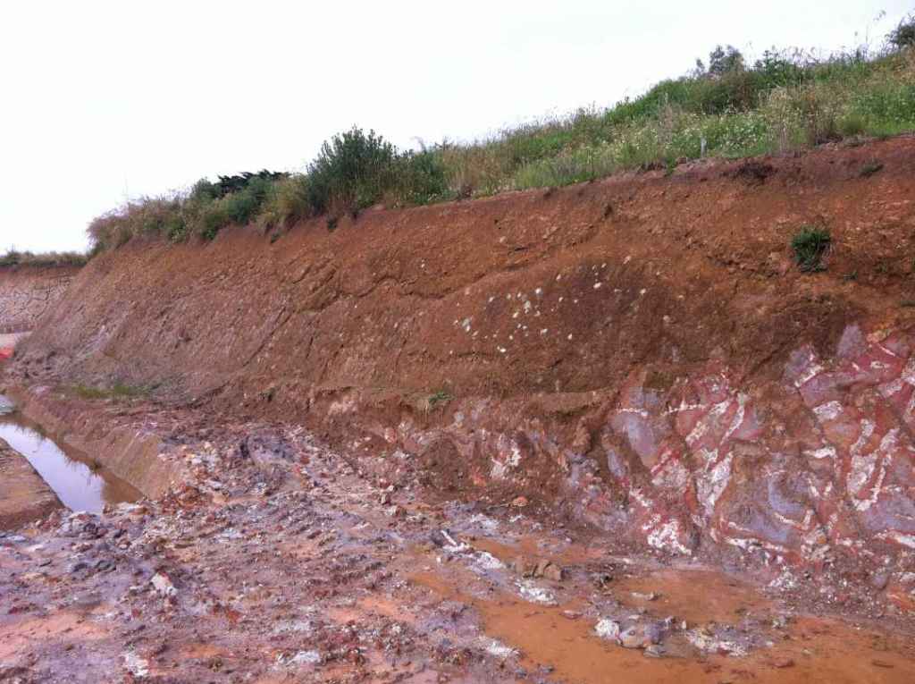
BACCHUS MARSH/DARLEY/MADDINGLY
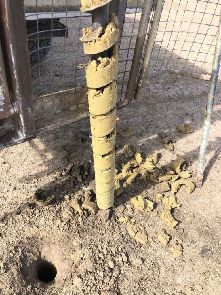
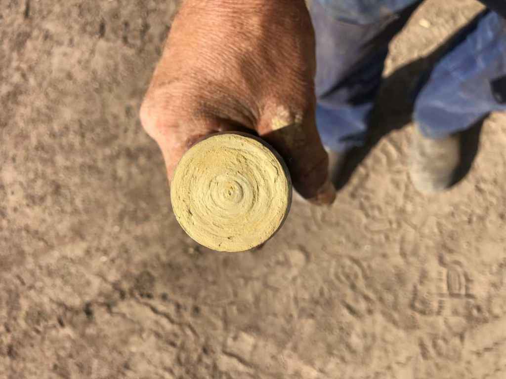
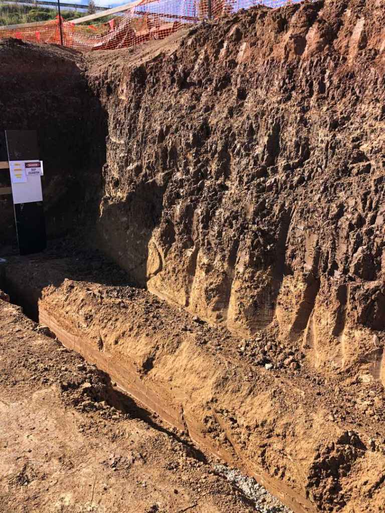
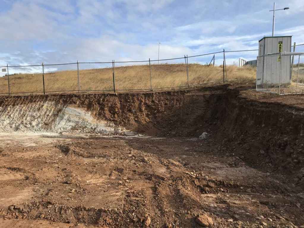
The Bacchus Marsh area is one of the most, if not the most, difficult area to do geotechnical drilling. A quick look at the local geology maps will show you a myriad of different geologies represented by a kaleidoscope of colours. Complex geological processes (e.g. inverse geology) result in basalt capped hills over gravelly tertiary alluvials or ancient Silurian hill, and these are challenging for any field technician. These profiles can be overlaid with natural-looking gravelly fill which can be recent or old, adding more hurdles to arrive at the correct soil description.
Bacchus Marsh and surrounds often require hand auguring due to the gravelly nature of the fill and natural soils which makes it difficult to drill with drilling rigs. All of these factors combine to make geotechnical drilling in the region suitable to only the most experienced technicians with substantial local experience and geological knowledge.
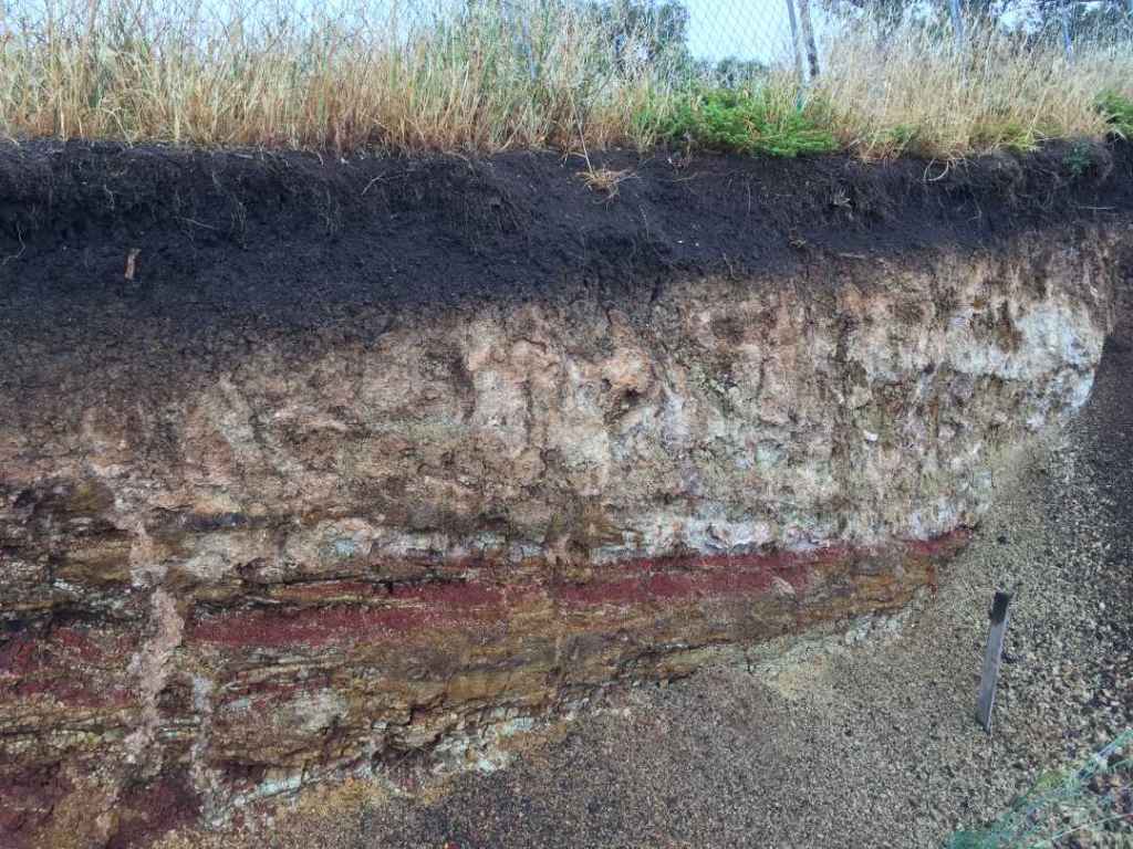
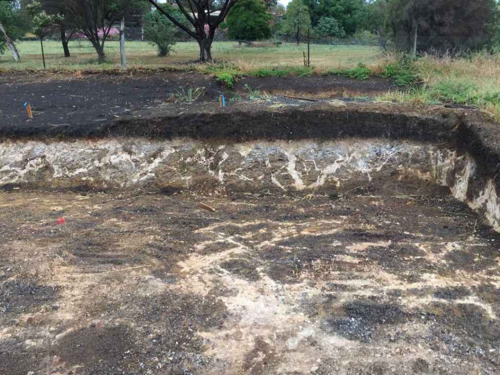
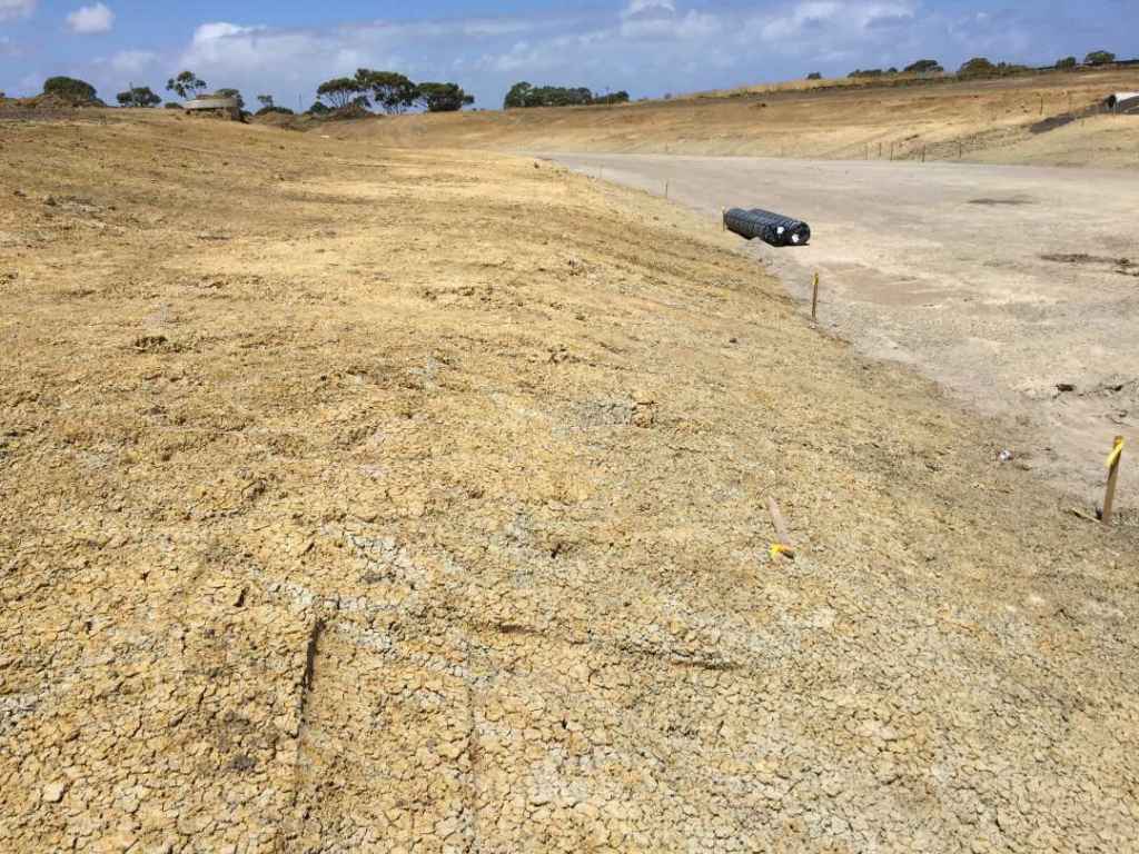
GEELONG LIMESTONE CLAYS
The true nature of the relatively ordinary appearance of the Batesford formation clays (formerly Warn Pounds Formation) can be revealed by soil laboratory testing. Only then
will you know if you are dealing with an extremely reactive clay or just a moderately or low reactive clay. Recent reactivity testing in the Charlemont area has revealed reactivity variations within a 100m zone ranging from Ips 2.6% to Ips 9.3% in the active zone, and a liquid limit as high as 180%.